In the interim HRA we could not conclude an absence of impacts to the SAC/SPA via a number of mechanisms and, among other things, recommended further data gathering:
- Surveys of bird activity around the moorland fringe to explore how frequently and how far birds breeding within the SPA travel offsite to forage (undertaken by West Yorkshire Ecology)
- Habitat surveys around the moorland fringe to identify areas of good, or potentially good quality feeding habitat that might be lost or otherwise affected by planned development
- Surveys of visitor activity within the SAC/SPA (undertaken by the Council)
Approach
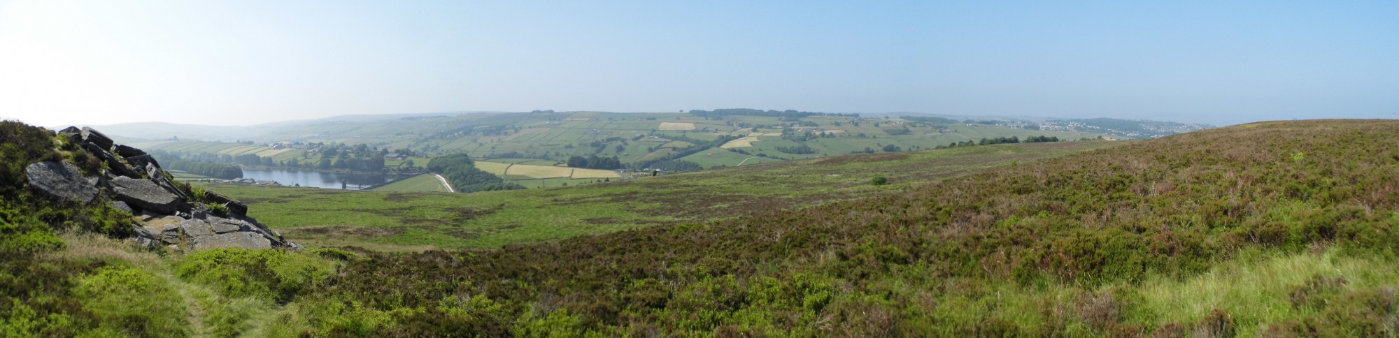
The habitat surveys were conducted according to a modified version of the Farm Environment Plan Manual grassland habitat assessment methodology. This allows for a rapid assessment of habitat coverage using walked transects and occasional quadrats.
The initial scope of the survey was land both within 2.5km of the SAC/SPA and 1km of existing settlements which may be subject to expansion – an area of some 11,411ha. A desk-study stage whittled this down via analysis of aerial photography to exclude land that was obviously not of interest, such as arable land, woodland, open water and built-up areas.
Outcome
The remaining area was surveyed over 42 person-days in July 2013 by prioritising transects which followed public rights of way, were close to existing settlements, and had been targeted during the bird surveys. A total of 2,553ha was covered, and the majority of land was found to be species-poor semi-improved grazing pasture, with pockets of species-rich semi-improved, acid grassland, or acid-grassland-rush-pasture mosaic.
The results of the habitats surveys were analysed alongside the bird survey data to provide recommended revisions to the spatial distribution of residential development planned for the district over the next 20 years.
If you’re compiling an evidence base for your Local Plan document and thinking of commissioning some ecological research in support of the plan, please contact us now to discuss your requirements.